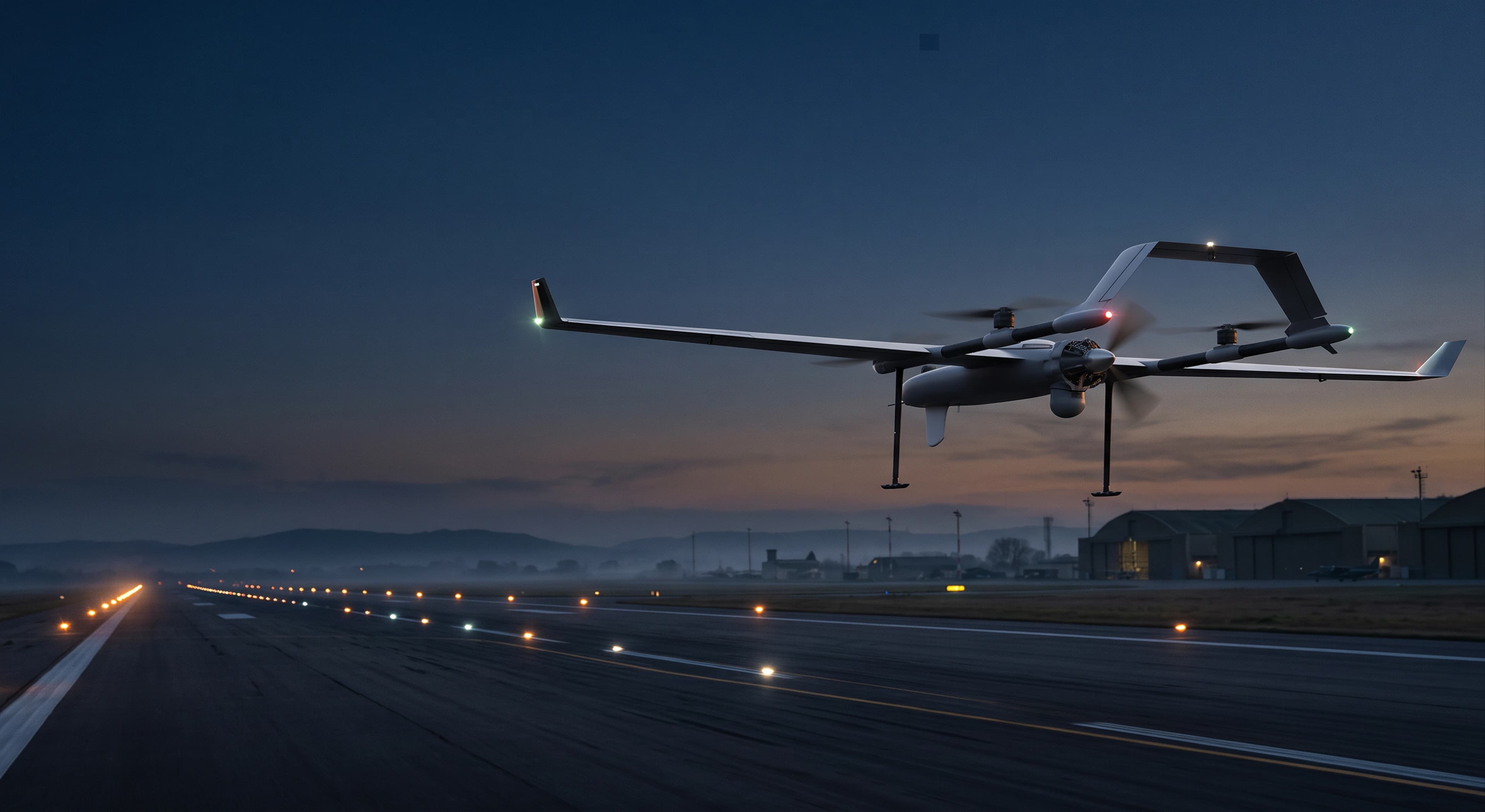
Rethinking Flight Inspection.
Aircraft rely on radio signals from the ground to find their way and land safely. We're building a drone that checks those signals are accurate.
Airport navigation signals need regular check-ups.
Every military airfield has equipment that sends radio signals to guide pilots, especially when landing in poor visibility. These signals must be checked from the air on a regular basis to make sure they are still accurate. Traditionally, that means flying a specially equipped aircraft with a crew.
- ✕ Needs a dedicated aircraft and flight crew
- ✕ Depends on when that aircraft is available
- ✓ Packs into rugged cases and travels to the airfield
- ✓ Flies the inspection route on its own
- ✓ Sends results live to the team on the ground
One system, four parts working together.
Our drone takes off vertically like a helicopter, then flies efficiently like a plane. It carries a special receiver that "listens" to the airport's navigation signals, while the team on the ground plans the flight and watches the results as they come in.
Takes off from anywhere and flies the route.
Measures the airport's navigation signals in flight.
Where the operator controls the flight and sees results.
Draws the exact route on a satellite map before take-off.
One drone. Four types of navigation aid.
Guides aircraft down onto the runway at the right line and angle.
Tells pilots which direction they are from the station.
Tells pilots how far they are from the station.
Military system giving both direction and distance.
From arrival to report in four simple steps.
The system is brought to the airfield and the ground equipment is assembled.
The positions of the runway and equipment are marked, and the flight route is created and checked.
The drone flies the route on its own and sends its measurements to the operator.
A report is produced, then reviewed and signed by the Flight Inspection Officer.
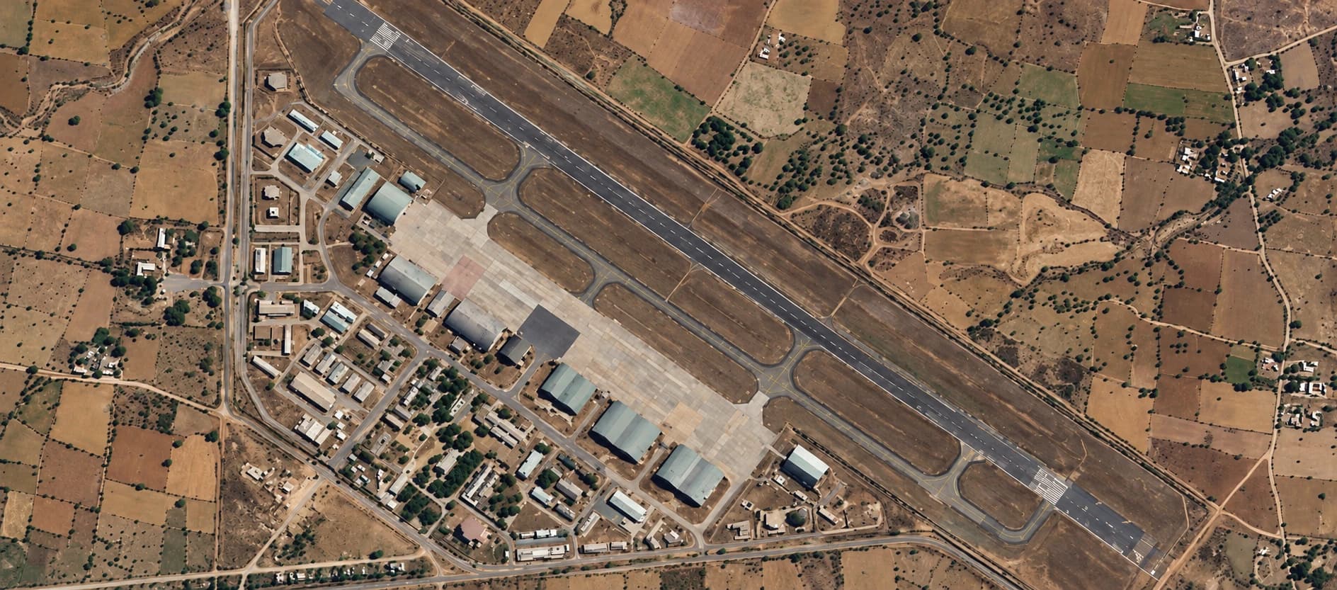
From Concept to Demonstration.
An early prototype has already been tested against simulated landing-system signals. The next stages take it step by step to a live demonstration at an operational Indian Air Force airfield.
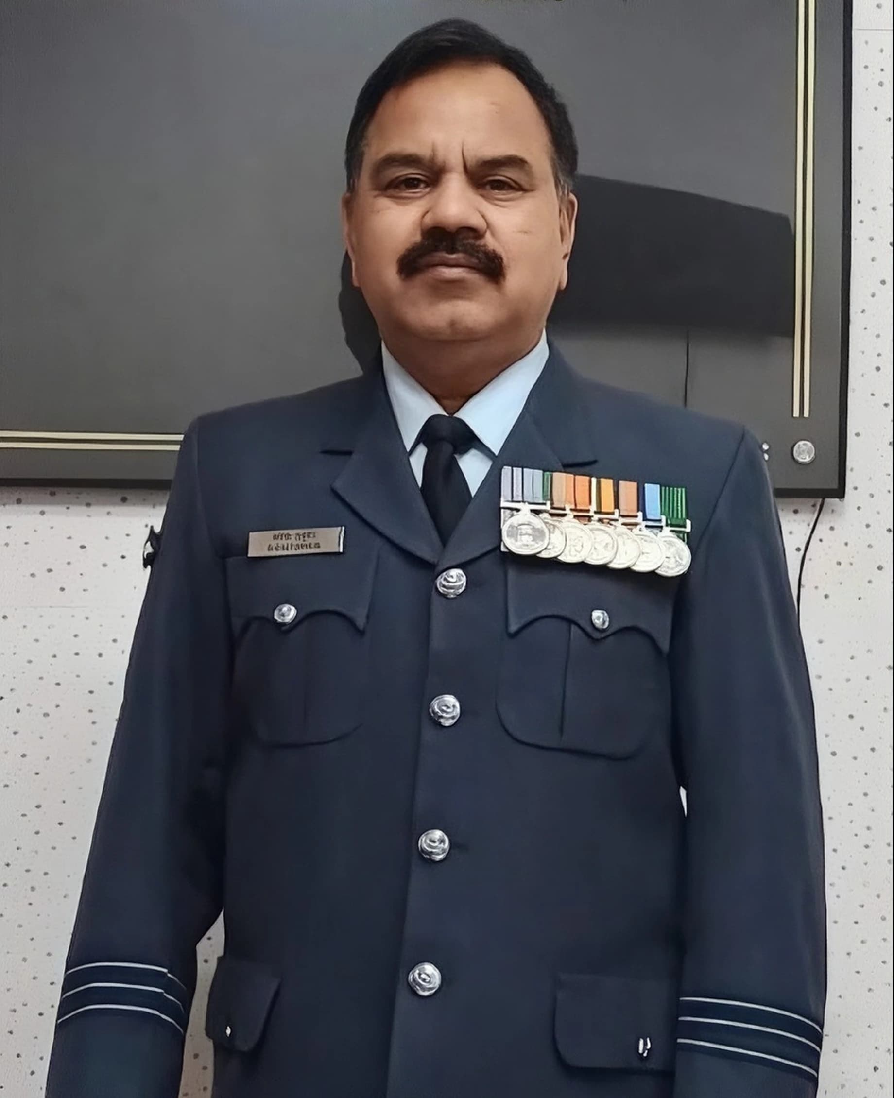
Experience Behind the Mission.
Nabhoman Aerospace Private Limited works in aerospace, autonomous systems and precision technologies.
He served in the Indian Air Force from 2003 to 2022, looking after air traffic electronics, navigation aids, radar and communications across IAF bases. He then served as Project Director for the modernisation of airfield infrastructure across 30 IAF stations (2022–2024).
Zoid Technologies
Supports the project with funding for the iDEX matching contribution, technical help during development, and financing and facilities for production.

The Future of Flight Inspection Is Taking Shape.
Explore Nabhoman's approach to autonomous flight inspection and navigational aid calibration.